




DroneDeploy
Visual AI and robotics across all your sites
What is DroneDeploy?
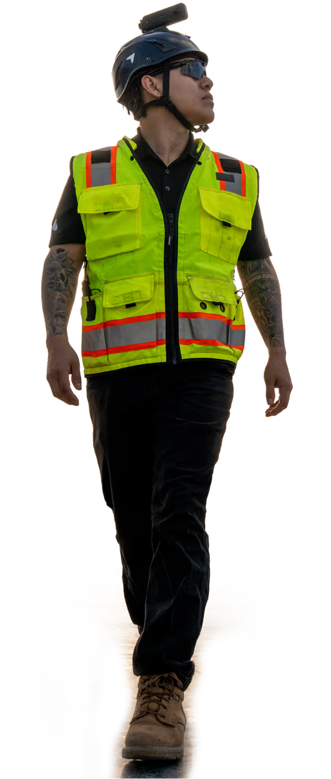
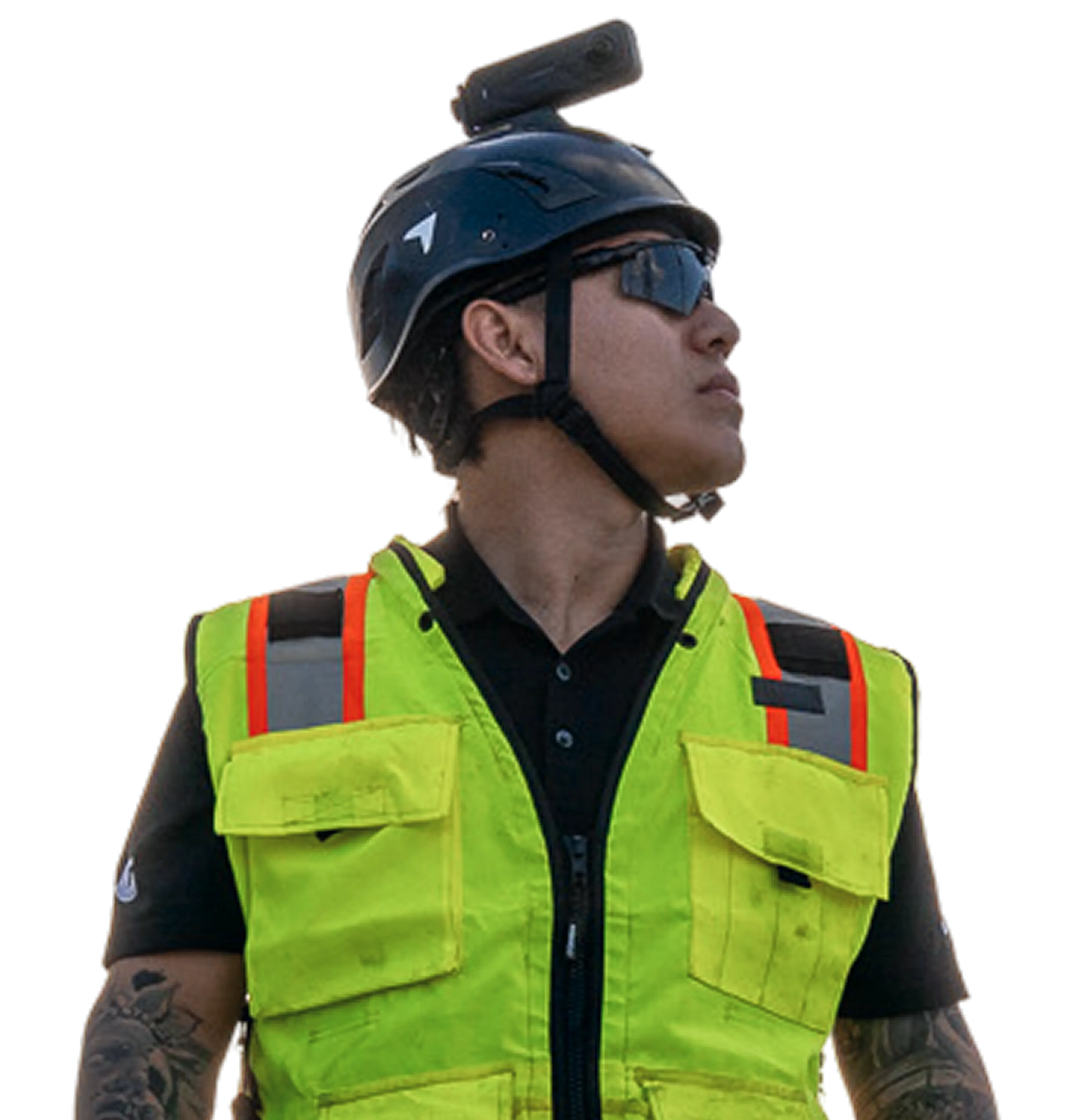
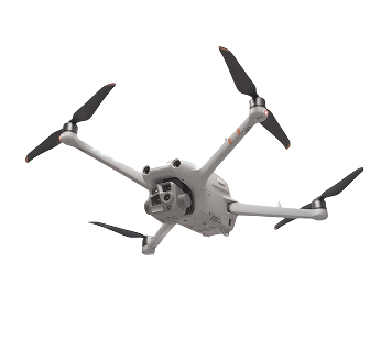
DroneDeploy is a reality capture and visual AI platform for construction, agriculture, and industrial sites. It enables users to capture and measure sites from every angle using drones, robots, and 360 cameras, with AI agents that proactively surface schedule or safety risks.
SpecificationsAI-estimated
Key Features of DroneDeploy
Use Cases for DroneDeploy
Construction progress tracking
Monitor site progress with aerial and 360 imagery, compare planned vs. actual, and use Progress AI to align stakeholders in OAC meetings.
Safety and risk management
Use AI agents to proactively surface safety risks and keep personnel out of hazardous areas by capturing data remotely.
As-built documentation
Create accurate as-built records and digital dig boards for undergrounding and infrastructure projects.
Earthwork quantity tracking
Measure cut/fill volumes and track earthworks quantities with drone-captured data.
How to use DroneDeploy?
Capture
Deploy a drone, robot, or 360 camera to capture imagery of the site from multiple angles.
Process
Upload the captured data to DroneDeploy's cloud platform for automatic processing and stitching into 2D maps or 3D models.
Analyze
Use AI-powered tools to measure distances, volumes, track progress, and detect safety or schedule risks.
Collaborate
Share maps, models, and insights with team members, clients, and stakeholders for better decision-making.
Pros & Cons of DroneDeploy
Pros
- Used on 3 million sites in 180 countries, indicating broad industry adoption
- Supports multiple capture methods: drones, robots, and 360 cameras
- AI agents proactively surface schedule or safety risks
- Provides measurable site data (e.g., progress tracking, quantity tracking, as-builts)
- Trusted by major companies like Turner, Rio Tinto, DPR, Bayer, Skanska, BP, and Google
- Reduces need for manual site visits and improves safety by keeping people out of harm's way
- Facilitates collaboration in trade coordination and OAC meetings with visual proof
Cons
- Pricing is not publicly listed; requires requesting a demo
- May have a learning curve for users unfamiliar with drone/robotics software
- Heavy reliance on compatible drone/robot hardware, which may require additional investment
- Primarily enterprise-focused, potentially less suitable for small projects or individual users
Frequently Asked Questions
What is DroneDeploy?
DroneDeploy is a reality capture and visual AI platform that helps construction, agriculture, and industrial teams capture, measure, and understand their sites using drones, robots, and 360 cameras.
What types of drones are supported?
DroneDeploy supports a wide range of commercial drones, including DJI, senseFly, and other popular models. The platform is hardware-agnostic and also supports robots and 360 cameras.
Does DroneDeploy offer a free trial?
DroneDeploy typically offers a free trial or demo. You can request a demo on their website to explore the platform's features.
What industries use DroneDeploy?
DroneDeploy is used in construction, agriculture, mining, energy, and other industries that require site mapping, progress tracking, and reality capture.
Pricing Overview
View full pricing →DroneDeploy offers annual subscriptions for individual pilots and agriculture plans ($159–$349/month), with enterprise and advanced plans available via custom quote.
Reviews & Ratings0.0
No reviews yet. Be the first to write one!
Top Alternatives & Similar Software
View all alternatives & similar software→No alternatives available yet.
People also viewed


Related searches
Is this your tool?
Claim this page to update details, reply to user reviews, and drive more traffic to your product.
Claim this Product →
Tags
Explore Related Topics
Keep up with DroneDeploy alternatives
New alternatives, pricing changes and the week's biggest movers - one email every Tuesday.