



Komoot vs OsmAnd
Side-by-side comparison of features, pricing, ratings, and alternatives.


Komoot is an outdoor adventure app that helps hikers, cyclists, mountain bikers, and runners find, plan, and navigate routes tailored to their sport and skill level. It combines sport-specific route generation with turn-by-turn voice navigation, offline map downloads for areas without cell coverage, and 3D map visualization to preview terrain. Beyond routing, Komoot is built around a community of roughly 45 million outdoor enthusiasts who share photos, tips, and route recommendations, contributing to a library of around 8 million routes across 100+ countries. Its Premium tier adds multi-day route planning with accommodation suggestions, personal route collections, live location sharing, weather forecasting along a route, and Garmin device integration.
OsmAnd is an offline maps and navigation app built on OpenStreetMap and Wikipedia data, letting users store detailed maps directly on their device so routing works without an internet connection. Because routes are calculated locally rather than through a remote server, the app emphasizes user privacy alongside offline reliability.
- Large, active community contributes route tips and photos beyond raw GPS data
- Sport-specific route generation adapts to hiking, cycling, or running needs
- Offline maps are genuinely useful in areas with poor signal
- Available across web and mobile with Garmin device support
- Works fully offline once maps are downloaded
- Open-source with community-sourced map data
- No routes sent to external servers, aiding privacy
- Detailed customization of map layers
- Some of the most useful planning features are gated behind Premium
- Route quality depends partly on community contributions, which can vary by region
- Primarily suited to outdoor recreation, not general-purpose city navigation
- Interface is less polished than mainstream mapping apps
- Exact pricing for OsmAnd+ and subscription tiers isn't listed on the main site
- Map data quality depends on OpenStreetMap coverage in a given area
More alternatives & similar tools
Alternatives to Komoot
View all →
Alternatives to OsmAnd
View all →
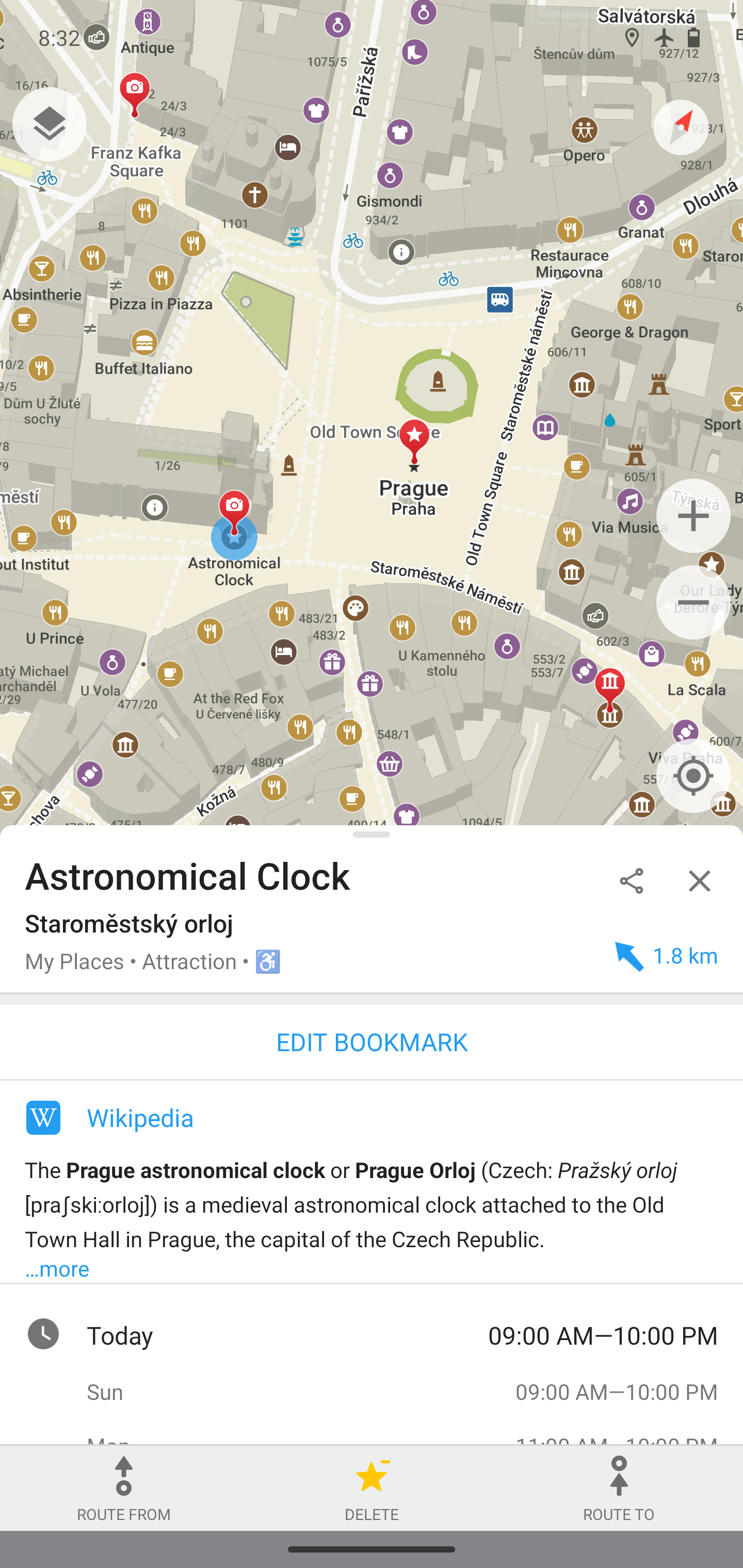
Privacy-focused offline maps and GPS navigation for hiking, cycling, and driving.

The Verdict
AI-generated from listing dataOsmAnd excels for privacy‑focused, fully offline navigation with open‑source maps, while Komoot offers richer community‑driven route planning and sport‑specific features but locks many tools behind a premium tier.
Key differences
- •Offline capability: OsmAnd works fully offline after map download; Komoot’s offline maps are limited to pre‑downloaded routes.
- •Privacy: OsmAnd never sends routes to external servers; Komoot does not specify privacy safeguards.
- •Route creation: Komoot generates sport‑specific routes and 3D terrain previews; OsmAnd provides basic turn‑by‑turn routing only.
- •Community content: Komoot adds user‑generated tips, photos, and curated collections; OsmAnd relies on OpenStreetMap data without extra community guides.
- •Premium gating: Many advanced planning features in Komoot require a paid subscription; OsmAnd’s core offline navigation is free, with optional paid upgrades.
Pricing & value
Both are freemium, but OsmAnd’s core offline navigation is free; Komoot locks key planning tools behind Premium.
Ease of use / learning curve
Komoot’s UI is described as polished with sport‑specific guidance; OsmAnd’s interface is noted as less polished.
Features & depth
Komoot provides sport‑specific route generation, 3D terrain preview, and curated collections; OsmAnd offers basic routing and map layers.
Integrations & ecosystem
Komoot syncs with Garmin devices; OsmAnd has no listed integrations.
Security & privacy
OsmAnd explicitly states no routes are sent to external servers; Komoot gives no privacy details.
Scalability / map coverage
OsmAnd uses OpenStreetMap worldwide, with monthly updates; Komoot’s map coverage depends on community contributions.
Support
Neither product’s support details are provided in the facts.
Choose Komoot if…
Outdoor enthusiasts who want curated routes, 3D terrain previews, and Garmin sync, and are willing to pay for premium features.
Choose OsmAnd if…
Users needing reliable, fully offline navigation with strong privacy, e.g., hikers or drivers in remote areas.
Common questions
Can I navigate without any cellular connection?
Yes with OsmAnd after downloading maps; Komoot works offline only for routes you have pre‑downloaded.
Which app protects my route data from being sent to servers?
OsmAnd explicitly states routes are not sent to external servers; Komoot does not specify privacy handling.
Do I need to pay to get advanced route planning?
Komoot gates many advanced planning tools behind a Premium subscription; OsmAnd’s basic routing is free, with optional paid upgrades.