



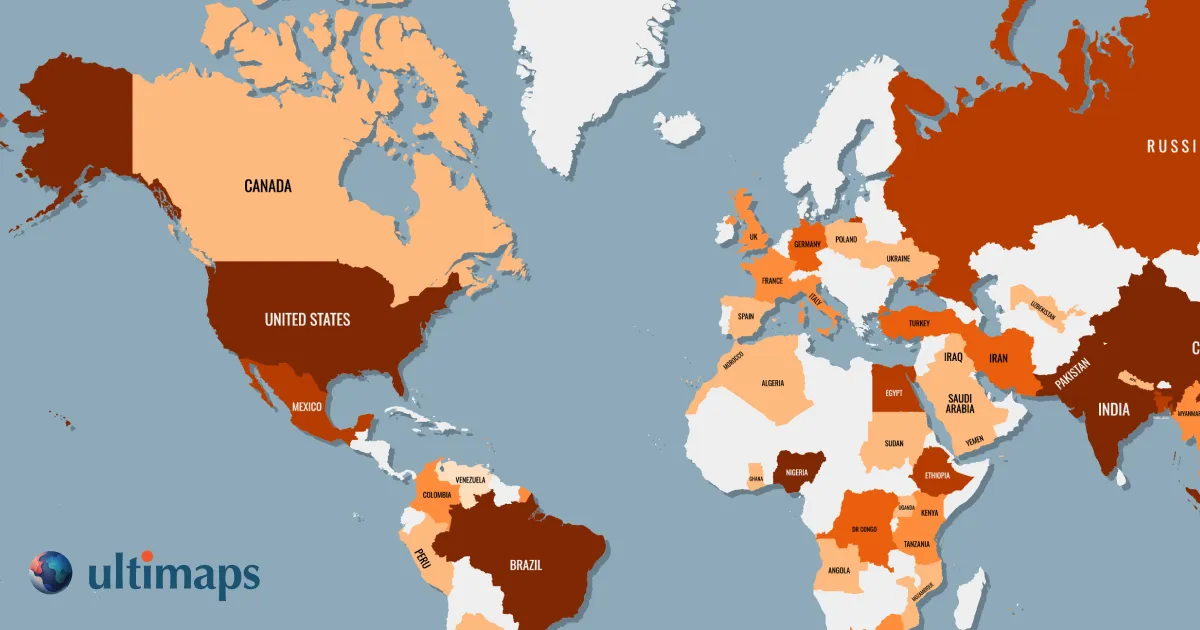
What is Ultimaps?
Ultimaps is a browser-based map visualization tool that lets users turn spreadsheet data into beautiful color-coded maps, export high-resolution PNG/SVG/PDF files, or embed interactive maps on websites without writing code.
SpecificationsAI-estimated
Key Features of Ultimaps
Use Cases for Ultimaps
Sales Territory Maps
Color-code sales regions and add accounts
Portfolio Maps
Visualize real estate property holdings by type or performance
Election & Political Maps
Show state/county results by party or status
Demographic & Research Maps
Create choropleth maps from population, income, health, or survey data
Business Presence Maps
Highlight global customers, offices, or coverage areas
Location Maps
Pin stores, offices, or locations with grouped numbering
How to use Ultimaps?
Pick a Map
Select from 200+ vector maps including US states by county and world maps
Add Data
Paste Excel/CSV, connect Google Sheets/Notion, or use frontend AI prompt
Customize & Share
Adjust colors, add pins/annotations, export PNG/SVG/PDF, or publish interactive embed
Pros & Cons of Ultimaps
Pros
- Very easy to create maps without GIS or design skills
- Directly imports data from Excel, CSV, Google Sheets, and Notion
- Generous free tier with no sign-up required to start
- Interactive map embeds with tooltips, popups, and click-through links
- High-resolution and vector exports available on paid plans
- AI prompt feature speeds up map creation
- Wide coverage: 200+ maps, including US states by county
Cons
- Free exports include attribution and are standard resolution only
- Attribution-free and vector exports require Pro subscription
- Not a street-level map tool, more of a regional data visualization tool
- Custom maps and advanced features cost extra
- Geocoding and AI requests are limited on Pro plan
Frequently Asked Questions
Is an account required?
No, you start creating maps immediately. Add sign up required only for saving or publishing maps.
Can I embed maps on my website?
Yes, any map can be published and embedded with a single line of code for any CMS.
Is Ultimaps similar to MapChart?
Ultimaps is different because it supports data import, automatic choropleth legends, interactive maps, and vector exports.
Reviews & Ratings0.0
No reviews yet. Be the first to write one!
Top Alternatives & Similar Software
View all alternatives & similar software→


People also viewed




Related searches
About the Product
Is this your tool?
Claim this page to update details, reply to user reviews, and drive more traffic to your product.
Claim this Product →
Tags
Keep up with Ultimaps alternatives
New alternatives, pricing changes and the week's biggest movers - one email every Tuesday.